The Internet is supposed to be a place to find information, isn't it? With that in mind, I will do a travel log to the places we go and to a few places we have been. I usually do quite a bit of internet research (I say that tongue in cheek, I guess) on the places we go before we actually go there. So, for the readers of this blog, or for people who come across this blog through internet searches for the destination of topic I will provide all the information I can on the subjects at hand. The only thing I request is that you leave a comment in the comment section telling us you used this information.
Swasey Lakes: Getting to The Trail head
The path recommended to us to get to the Swasey Hole area was through the Center Park Trail head north of Duchesne. We took I-80 from Salt Lake and turned off on Highway 40 at Park City. That took us right into Duchesne. Gas in Duchesne was petty costly, so I would recommend filling up somewhere before, or at the latest Heber City. From Duchesne we turned left off of their main street onto Highway 87 and drove to Mountain Home. From Mountain Home, you get off onto dirt roads. You follow Yellowstone River Road 4 miles to Hells Canyon Road. The trail head is 7 miles up that road. The roads are decent and you pass quite a few good places to camp if you want to camp overnight before starting the hike. We were pleasantly surprised to see the roads so well marked. We didn't get to Mountain Home until it was dark and we still found it to a good camping spot near the trail head with relative ease.
There is a Snotel Station near the trail head (Click Here) Snotel Stations are a good way to get a gauge on the weather in the area and also if you will encounter any snow.
For more info on the path to the Center Park Trail head, click Here (scroll down to the center park trail head section), and Here.
Having the USGS map and/or the Nat Geo. (#711 I believe) map of the area does help you get to the trail head as well as once you get on the trail.
Here are directions from Google Earth (it estimates the trip to be 133 miles from Salt Lake City):
Swasey Lakes: The Hike
The hike in was pretty tough for a bunch of guys who had not attempted any such thing for at least ten years. I personally believe that the altitude difference also had a previously not factored effect on us. We all live at around 4,000 feet above sea level. Our hike began at around 10,700 feet above sea level. To say that we were exhausted when we arrived at our destination is almost an understatement.
The trail in, however, was in pretty good shape. We lost the trail once, only momentarily, around the wilderness boundary. There were plenty of boulders in a few areas. We encountered some people who had hiked in on horseback and said the ride to Swasey Hole was about two hours for them. As we hiked, however, we kept wondering how horses could go on some of the terrain. Please be aware that there is no marked trail going into the Swasey Hole area. It seems like most people turn after the main stream at the bottom of the valley just as you start to climb uphill again. I would recommend this route. Going out, it is relatively easy to follow the trail from the lakes, but unless you knew where it was going in, it could be hard to find. Going in we went almost to the base of the ridge, then turned left and went through the rock fields until we came to the lakes. Going over the boulders was a little difficult with a heavy pack on, and as I said previously, I would take the option just after the creek if I were to do it again.
Some sites I looked at estimated the trip to be around 6 miles. We estimate that we added about an extra mile to our trip by going to the base of the ridge. The hike in took us more than six hours (which we attribute to our not taking the stream in... and our exhaustion) and going out it took us about three-and-a-half hours.
Here is a GPS map and an elevation profile from this website from this website (This site also has some excellent photos of the area:
 Here are some photos and Google EarthThe trail in with a rough (and I do mean rough) sketch of where the trail takes you.
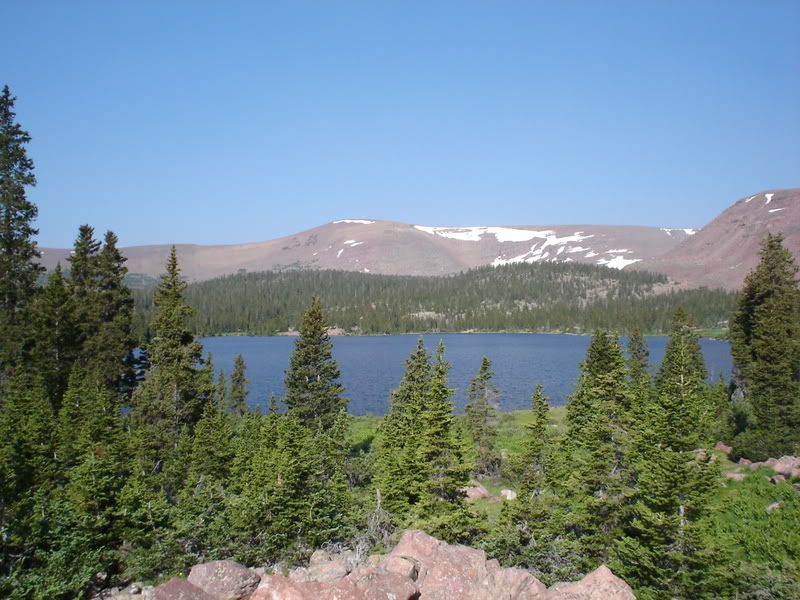
Here is Swasey Hole. We found a good camp spot on the north corner of the big lake in a small grassy area in the rocks. Most of the other camp sites we came upon in our exploration of the lake were riddled with rocks and a lack of flat space. Our camp site was good for us in that it was nice and flat and open.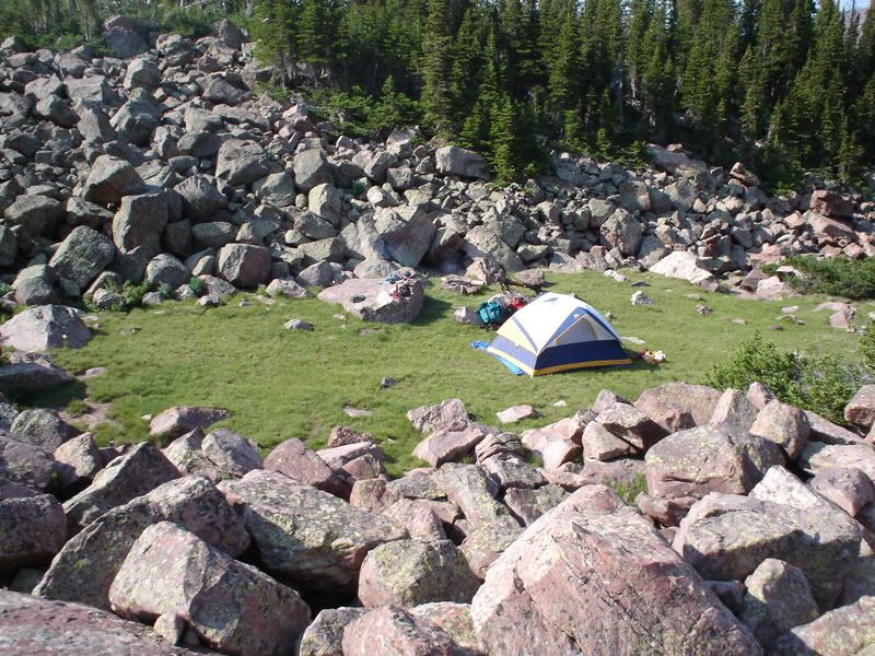
Our campsite.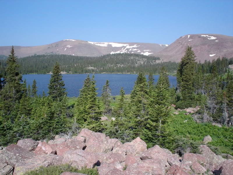
View of the lake from near our campsite.
Here is a view of the trail and geography above Swasey Hole and the Swasey Lakes. There are plenty of lakes up the trail a bit (about 4 miles, I believe). We did not make it there, but I have heard good things about the area and that it would make a good day hike for fishing.
The hike out was much easier than the hike in. I believe this was due to our following the main stream out of the Swasey Hole area. Also, you reach the base of the mountain on the way out and know that once you climb that it's all pretty much all downhill from there.
Swasey Lakes: Fishing
We did plenty of fishing while we were there. We had some good success on both the big lake and the smaller lake next to the big lake. I packed both a standard fishing rod and a fly fishing rod in with me. I actually broke the tip off of my fly rod on a tree going in, so I used it sparingly. Another in our party, however, used his fly rod and had good success one evening. The fish were rising in the mornings and evening and if you had the right fly, they took it (small, mosquito-type flies seemed to work the best). Spinner fishing also worked well. We even pulled out a couple of 12-14 inch fish out of the smaller lake. We used a combination of different spinners, but the classic panther martin and similar type lures seemed to work the best. The fish selection consisted of cutthroat and brook trout (apparently some sites say that there are some rainbow trout in there as well).
Also, I am not a big fish eater, but the trout we caught was very good to eat. Each night we were there we cooked up some fish in tinfoil with butter and lemon pepper. It was excellent! While we were there the cutthroat trout were spawning in one of the nearby creeks. That was interesting to see. They were packed into the little stream as tight as could be and appeared to be very, very on edge.
Swasey Lakes: Final Notes
We heard about the Swasey Hole area from a friend who is a forest ranger in the area. For a moderate hike in the trip was about as good as could be hoped for. The one wish our group had was that we had been a bit better physical shape before we went so we could have felt like we could explore the surrounding area a bit more.
If you need to stop for groceries or anything similar before you get there, I would recommend doing so before Duchesne. Heber City would probably be the last place to find a Wal-Mart-type store. You can get gas in Duchesne and there are also a few restaurants. Like many small towns, however, everything seems to close pretty early in the evening- so better safe than sorry, in my opinion. Gas was also much more expensive there. It was, however readily available regardless of what time it was.
One person in our group brought a Spot Personal Satellite Messenger (available here, or at the official website). The Spot is a device that sends an e-mail or text message to a pre-determined list of people telling them that you are okay or are in trouble and need help. All in our group had families. The Spot was a good way to calm the fears of our wives that something was going to happen to us while we were alone in the wilderness. We sent messages to our families three times a day and they got all of them.
Finally, for more info. on this area, click here, or here.
For coordinates to the area, click here.
Here are some additional photos: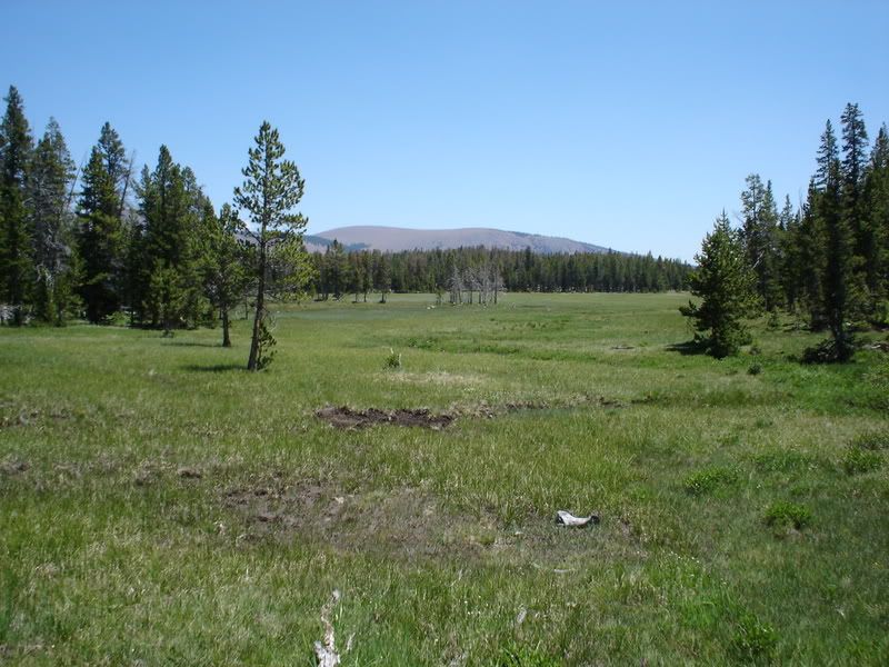
This is a meadow near the trail head.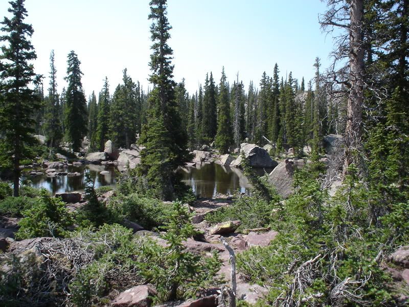
This is a rock field and pond near the wilderness boundary.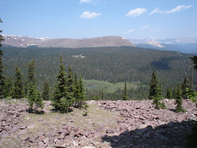
View from near the trail summit. You can see the ridge off in the distance. Swasey Hole is at the base of that ridge.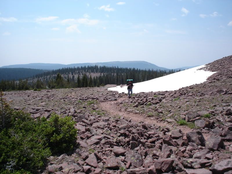
Snow in July near the trail summit.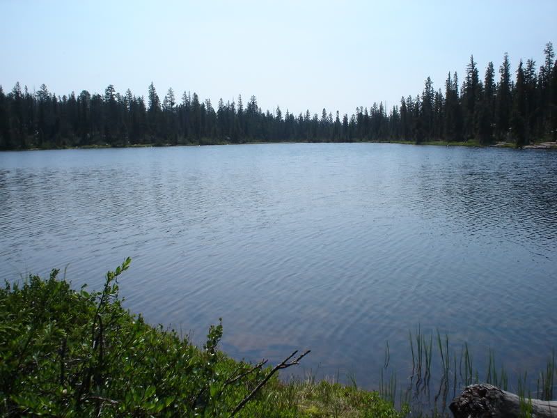
The smaller lake.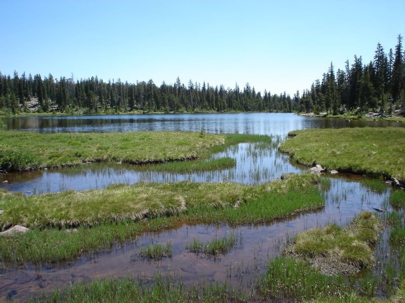
The stream going out of the smaller lake. This is the stream that you basically follow in from the trail.
Thursday, July 24, 2008
Travel log: Swasey Lakes in the Uinta Mountains of Utah
Posted by faithanddustin at 7:50 AM 2 comments
Wednesday, July 23, 2008
A couple of videos
We have quite a bit of video of Ava that I have edited for website viewing. I am not a huge fan of posting them all here, but occasionally I will post a few. Here are some from recently that were fun:
A few weeks go we took Ava to the park to play for a bit. She had a lot of fun to say the least. We weren't so sure about her batting away the camera and deciding that she was big enough for the big kid slide, but we all had fun.
This one is of the dance that Faith did with Ava at her school's talent show in March. It was way past bed time, so Ava wasn't quite as cooperative as hoped for, but it was still fun.
Posted by faithanddustin at 1:08 PM 3 comments
Wednesday, July 16, 2008
"You were man enough to pack it in, weren't you?" - Cody
As has been talked about by The Great Hates Authority and The Great Hard Music, we went to the Uintas last weekend. The trip was a good "mancation" if you will. Lots of fun, lots of awesome mountain scenery, and lots of good times with some great friends.
The hike in was rather hard. Seriously, it was hard. No, seriously guys: it was hard (thanks Authority for reminding me that we are still much the same as high school). We actually had to stop on the trail and rest for a bit (and by rest, I mean fall asleep from absolute exhaustion). But when we got to the lake, it was worth it. The scenery was awesome. The fishing was great too. In fact, we came across a stream with spawning brook trout. That was one of the coolest things I have ever seen! It was almost exactly like the National Geographic videos with the fish jumping out of the water and packed in as tight as can be, etc. One thing that we were reminded of on our trip, however, was how out of shape we really are. Next time we will be a little bit more prepared for the entire trek.
Cody stopped by for a night and taught us all how absolutely crazy we were for not living in the wilderness for weeks at a time. Okay, he is the only one who could do that. I would go crazy after a few days alone.
All in all, the trip was a blast. It was just what I needed. I really have some good friends. I hope we do it again next year somewhere else.
Lastly, I have to explain the blog post title. Cody got into camp and we began to question him as to whether or not we were too close to the water, etc. One of the questions we asked was whether or not the items currently in our fire pit would burn or if we needed to figure out a way to pack our trash out. Cody then gave us the now infamous (and obviously rehearsed) line: "You were man enough to pack it in, weren't you?" We were all nearly on the ground laughing as soon as we heard it. Good line, Cody.. Good line. If he is that smooth in his usage of such lines with women it is hard to imagine how he is still not married.
Here are some pictures and also a video of the fish spawning:
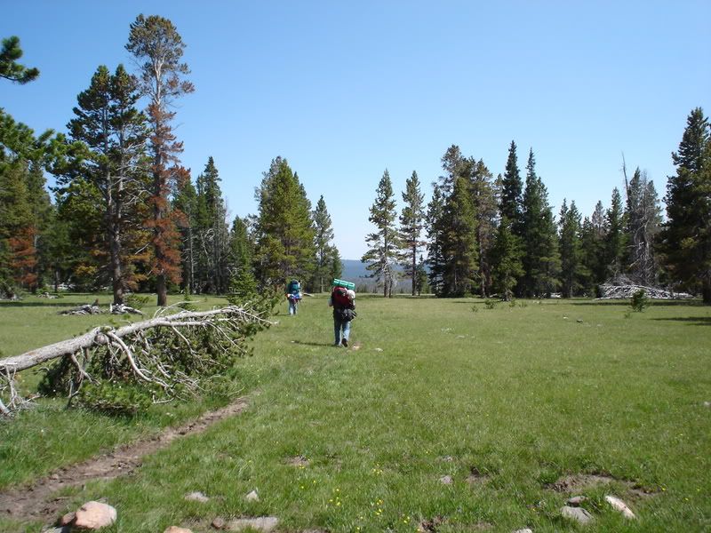
Hiking near the trail head.
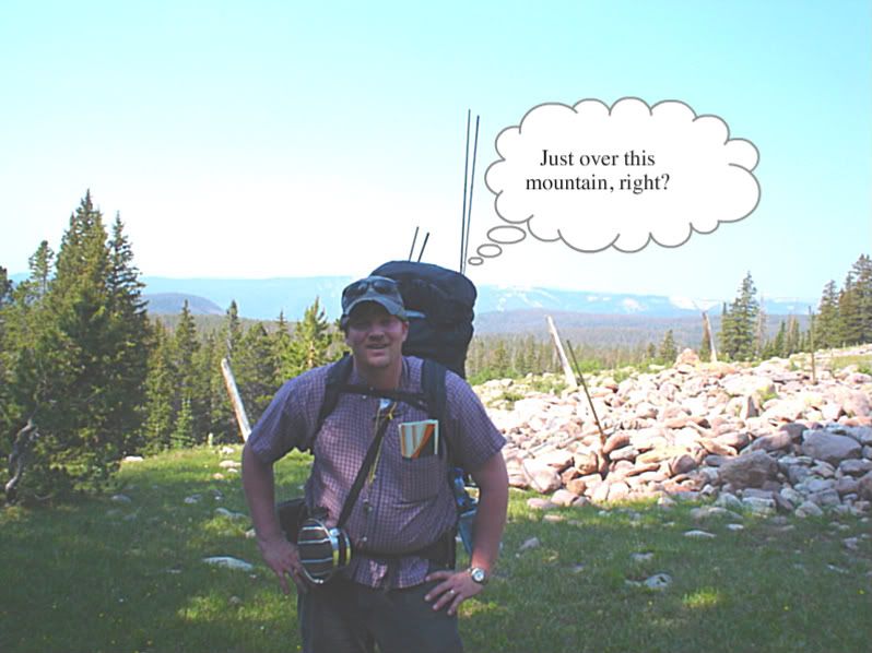
Coming up on the summit.
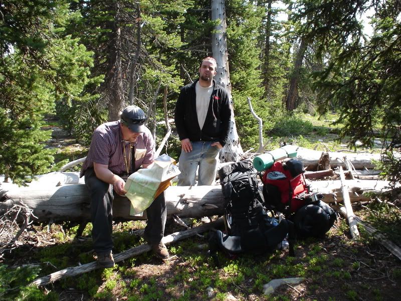
Taking a break and looking at the map.
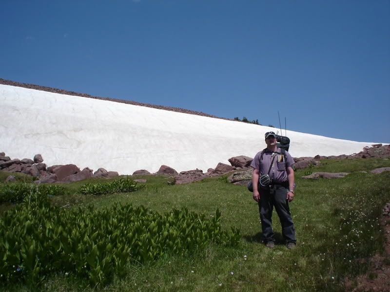
Snow in July at the trail summit.

The view of the other side from near the trail summit. Our lake was at the base of the next mountain that you see in the background.
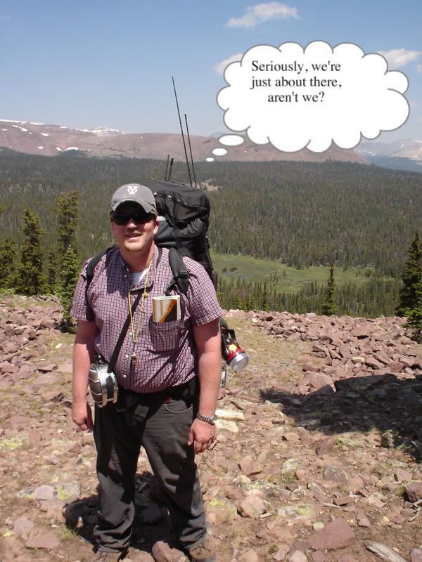
We thought it couldn't be too much further... We were wrong.
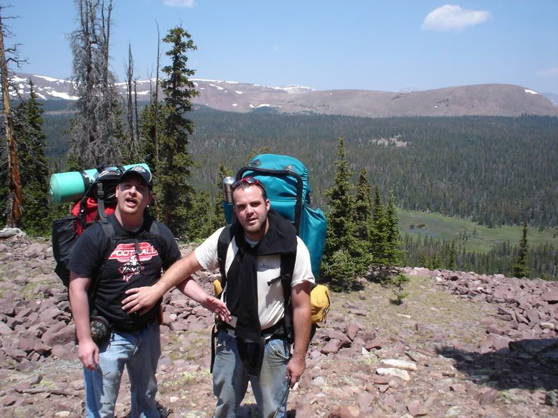
I don't really know what to call this ceremony. Maybe the passing of the belly?
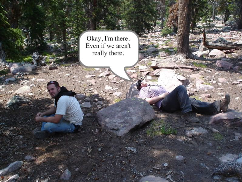
This is the point in the trail where we had to stop from pure exhaustion (not just me, mind you, but all of us!). I think we even fell asleep (or passed out, whatever you prefer to call it) for a minute or two.
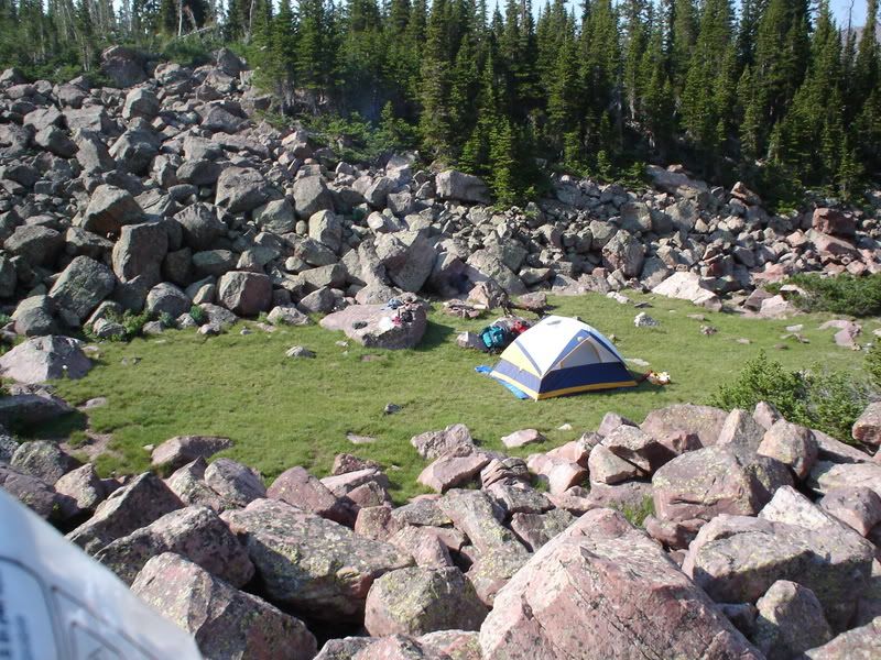
Our awesome camp.

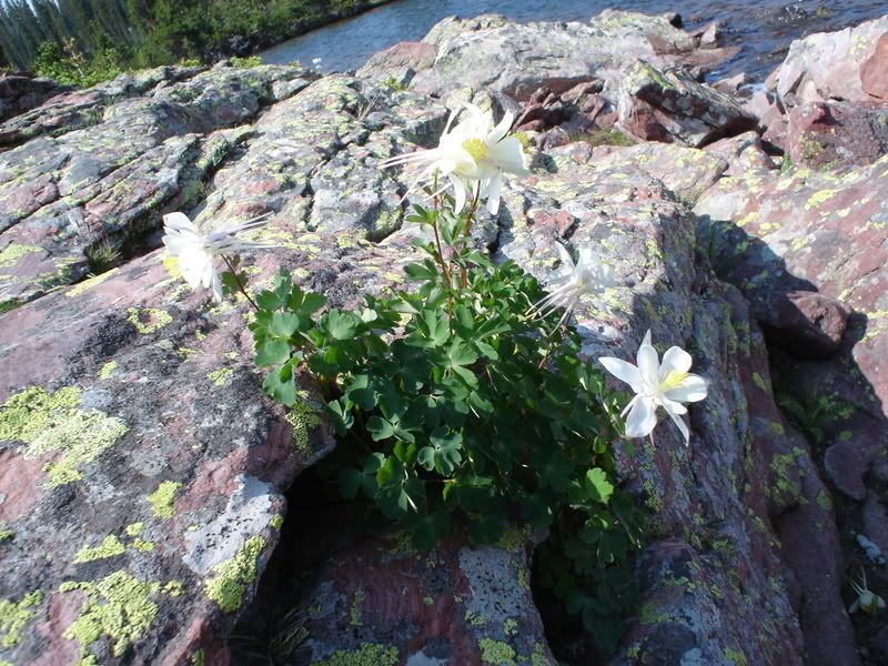
Dustin's artistic moment (just one moment): a pretty flower surviving in the harsh rocky landscape. I'm sure there is some meaningful metaphor to life here... but you'll have to figure that one out on your own time.
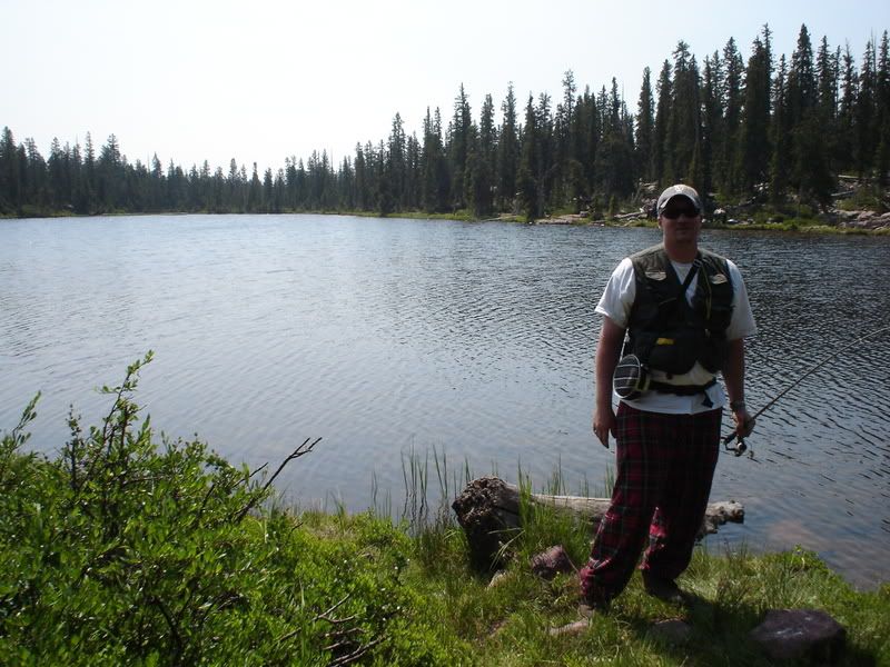
Nothing like being all alone in the wilderness and fishing in your plaid 'jamies if you so desire!
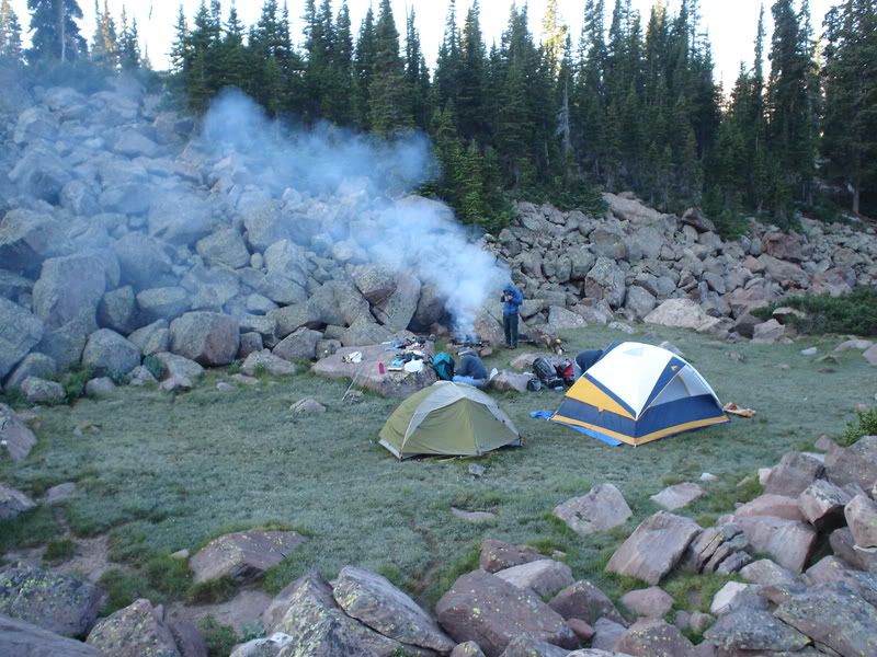
Our campsite complete with fire and frost.
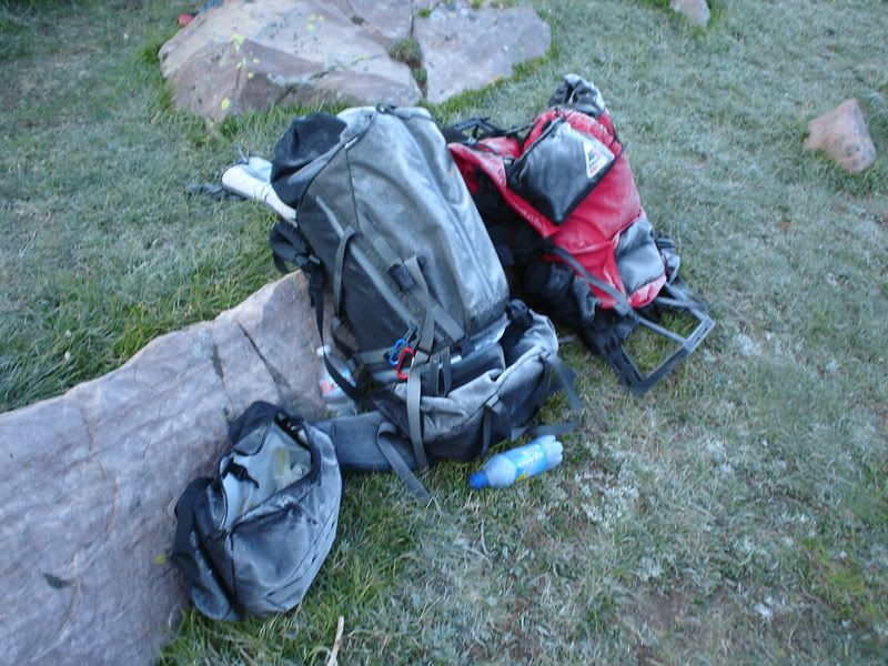
Frost on our packs.
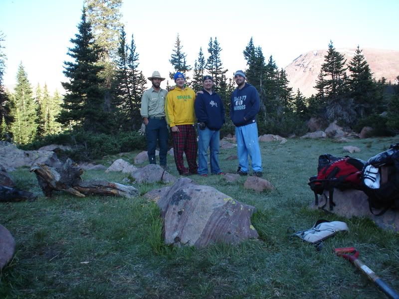
Group photo with Ranger Cody.
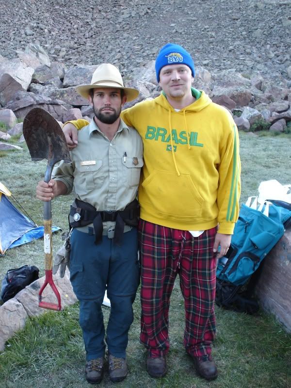
Dustin and Cody.
Not Dustin and Cody.
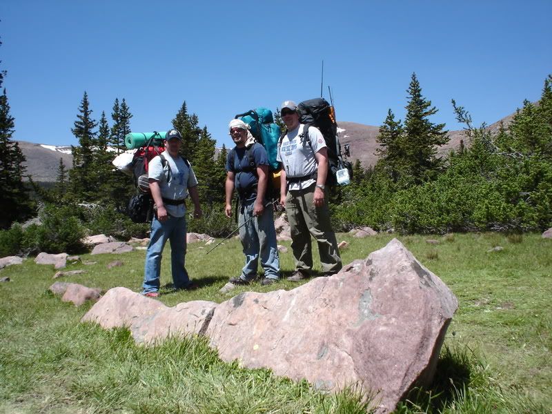
Heading out.

Sweet stream on the way out.
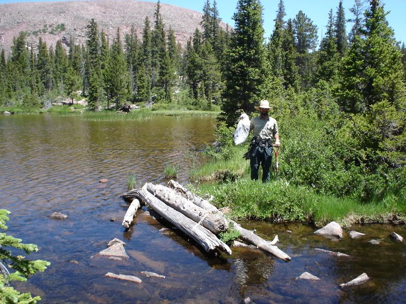
Ranger Cody cleaning up other's peoples crap.
Crazy, hormonal, spawning fish:
Posted by faithanddustin at 7:36 PM 3 comments
Sunday, July 6, 2008
Fourth of July Hike
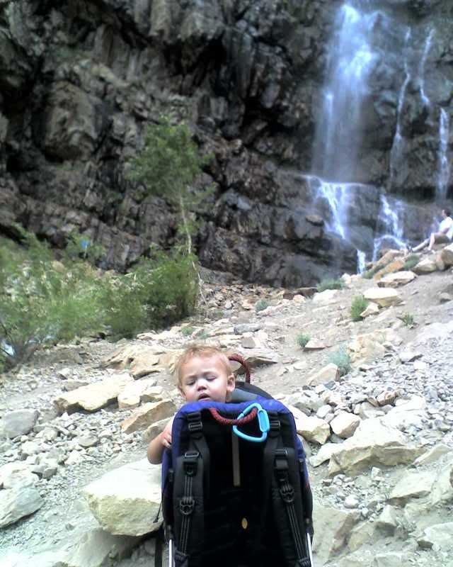
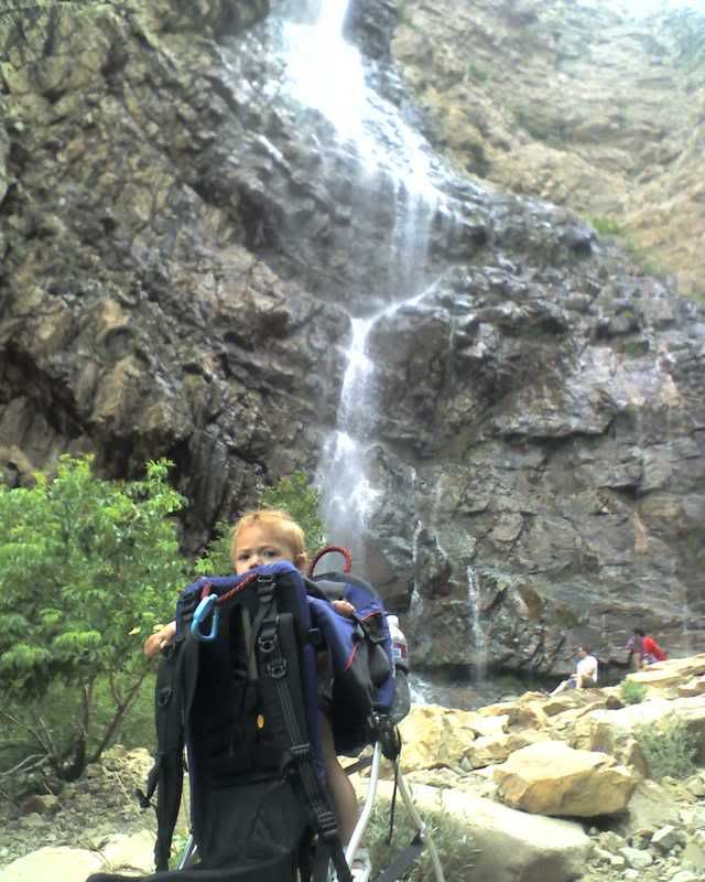
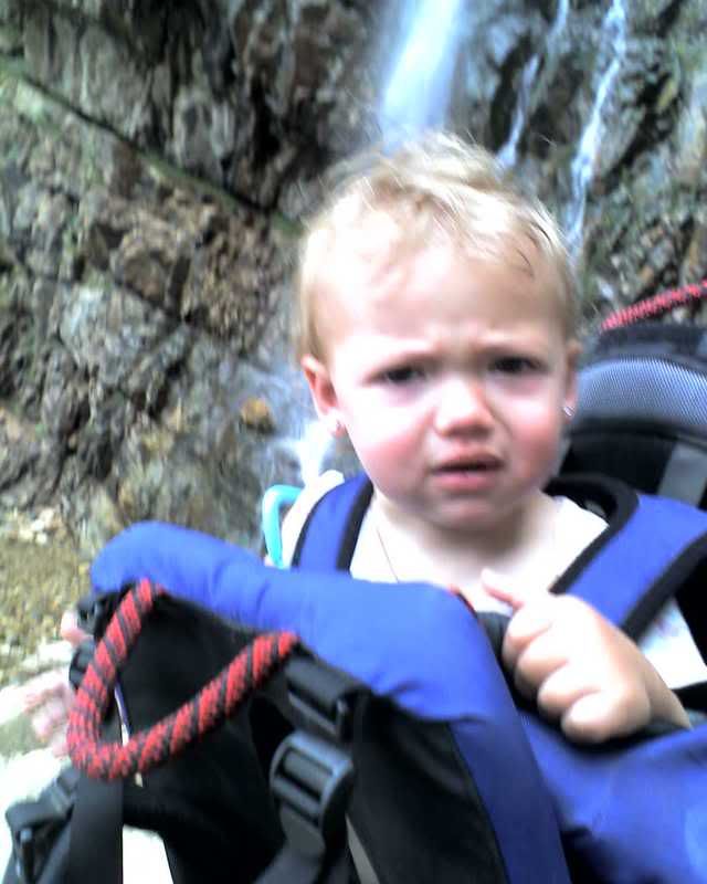
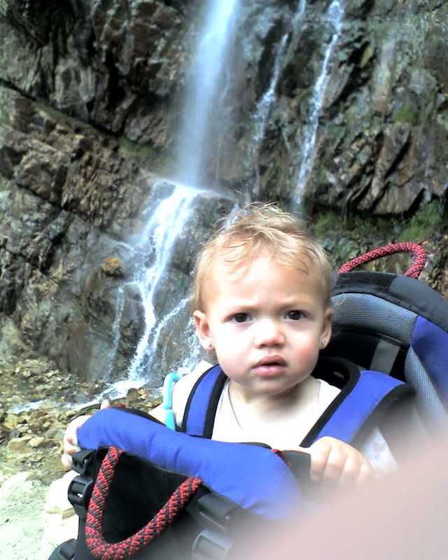
Ava and I got up early on the Fourth of July and decided that it was time for a hike. Okay, most of the decision was made by me, but since Ava didn't say anything to show that she objected- I figured she wanted to go too. The hike was much harder hike than I remember. Of course, the last time I made the hike I was probably around 18 years old and I didn't have 30 lbs. on my back. We had a lot of fun, though. Ava especially enjoyed the waterfall and the deer we saw on the way back. Here are some photos- they are not the best because they were taken with my cell phone.
Posted by faithanddustin at 7:27 AM 3 comments
Friday, July 4, 2008
Okay, One More Fourth of July Item
This is absolutely one of Faith's favorite things ever. She laughs and laughs every time she hears this. Carl Lewis sang the national anthem at a basketball game and.... let's just say that it wasn't good. See for yourself and feel the patriotism:
Posted by faithanddustin at 9:02 PM 0 comments
Happy Fourth of July
Since it is the fourth of July, I want to share probably my favorite American history story with everybody. I love American history. One of my companions (he was Brazilian) said it best on my mission when he said that you could feel the Spirit reading the constitution and learning about America's history. For many of us who have been outside the country for an extended period of time, it is easy to realize just what we have here.
The story below is one I heard a few years back on "Sounds of the Sabbath" (it was crunched in between an Afterglow song and EFY's greatest hits I'm sure). It is a Glenn Rawson story, so all the credit for this goes to him. I liked the story so much that I sent them an e-mail requesting a copy of it.
In May of 1782, after the American Revolution was over, while America still struggled with her newfound independence, a letter was received by General Washington. The letter was written by one of Washington’s officers, Colonel Lewis Nicola. It outlined the grievances of the soldiers at being yet unpaid for their services, and being underfed along with other things, and it detailed a plan which involved the General that would rectify the situation and solve the woes of the nation if only Washington would lend his support.
Well upon reading the letter, Washington was indignant, even outraged, and he wrote an immediate response saying, “Be assured, sir, no occurrence in the course of the war has given me more painful sensations than your information of there being such ideas existing in the army as you have expressed, and I must view them with abhorrence and reprehend with severity … if I am not deceived in the knowledge of myself, you could not have found a person to whom your schemes are more disagreeable. Let me conjure you, then, if you have any regard for your country, concern for yourself or posterity, or respect for me, to banish these thoughts from your mind and never communicate, as from yourself or anyone else, a sentiment of like nature.”
“I am, sir, George Washington,”
Since the first time I heard this story, I have stood in awe of the Father of our Country, because I believe his unwavering, even outraged response in this one instance changed the entire course of America’s future. You might ask, “What was it they were asking of him?” – To allow the military for the good of the country to install General Washington as ‘George the First’, the first king of America.
Glenn Rawson – February 1998
Posted by faithanddustin at 10:54 AM 0 comments
